TL;DR:
- Using curated databases, map tools, and community reports enhances the discovery of obscure destinations. Travelers should verify access, amenities, and seasonal factors before planning a trip, then use services like Destlist to generate comprehensive itineraries rapidly. Combining these approaches helps avoid common pitfalls and results in authentic, off-the-beaten-path travel experiences.
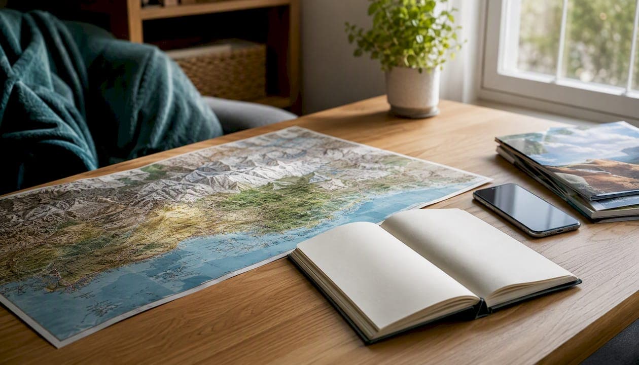
The fastest way to find unusual places and actually go to them: combine a curated oddities database with map-based clustering, cross-check each find against basic logistics, then hand the shortlist to a trip-builder. Here is the workflow in four steps.
- Seed your search in a specialized database (Atlas Obscura for cultural oddities, UN Tourism Villages for rural communities, AllTrails for trailheads) using a keyword tied to your interest, not a city name.
- Map the results in Google Maps or Roadtrippers to spot geographic clusters worth combining into a single trip.
- Validate each candidate against the 5 A's: Access, Accommodation, Attractions, Activities, and Amenities.
- Convert to a plan with Destlist, which pairs AI-generated itineraries with human curation and delivers a ready-to-book trip within 24 hours.
Table of Contents
- What are the best destination discovery tools, and what is each one good for?
- How do you use discovery tools to find lesser-known destinations?
- How do you choose the right discovery tool for your trip?
- Three repeatable workflows for common discovery goals
- What does it cost to use discovery tools in the United States?
- How does Destlist turn a discovery into a ready-to-book itinerary?
- Key Takeaways
- The case for slowing down the discovery phase
- Destlist makes the trip happen after you find the place
- Useful sources and further reading
What are the best destination discovery tools, and what is each one good for?
Travel discovery tools fall into five distinct categories, and knowing which one to reach for first saves a lot of aimless scrolling. The right starting point depends on whether you want cultural oddities, trail access, road-trip routing, rural community finds, or a fast AI-generated shortlist.
Curated databases
These are editorially maintained collections where a human decided the place was worth including. Atlas Obscura is the clearest example: it focuses on under-the-radar places, oddities, and local stories that mainstream travel guides routinely skip. The provenance matters here. Because a curator wrote the entry, you get context and storytelling that a crowd-sourced pin cannot provide. National Geographic's destination guides sit in the same category, combining editorial photography with practical timing advice and hidden-gem callouts.
Best for: cultural oddities, historical sites, off-beat local stories. Limitation: not built for logistics or route optimization.
Map-based explorers
Google Maps and Roadtrippers both let you search geographically rather than alphabetically. Google Maps layers user photos, ratings, and "hidden gem" tags onto a live map, so you can zoom into a region and spot what clusters near a known anchor point. Roadtrippers is purpose-built for road trips: it plots waypoints along a driving route and surfaces attractions, campgrounds, and quirky stops within a set distance of your path.
Best for: road-trip routing, geographic clustering, quick visual triage. Limitation: coverage skews toward rated, reviewed places; truly obscure spots may not appear.
Niche and activity apps
AllTrails is the dominant tool for trail discovery in the United States, with user-submitted reports, difficulty ratings, and downloadable offline maps. If the trip is built around a specific hike, AllTrails is the right starting point, not a general travel guide.
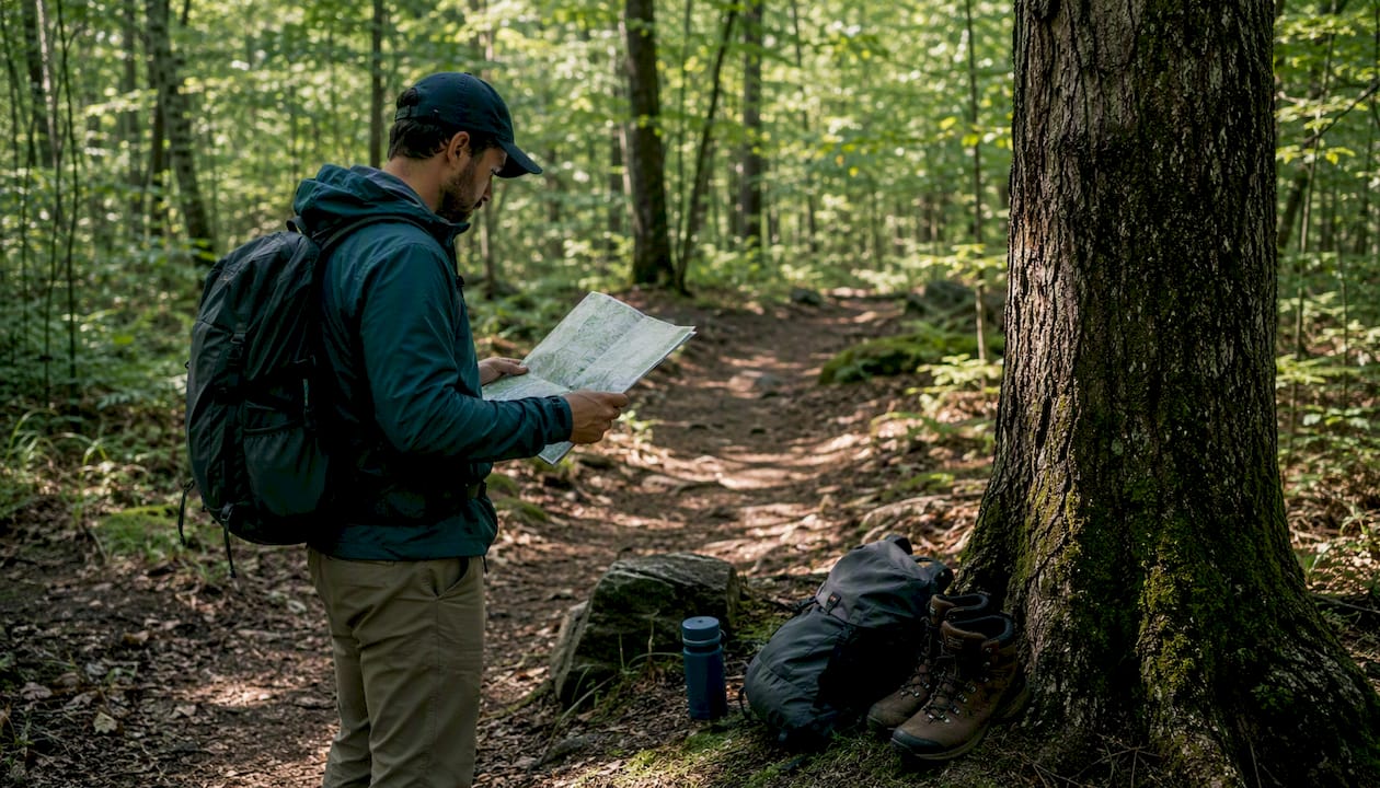
Best for: hiking, cycling, outdoor activities with specific terrain requirements. Limitation: narrow scope; not useful for non-outdoor discovery.
Community and social sources
Reddit travel communities, travel-specific Facebook groups, and platforms like Nomadic Matt's destination guides aggregate first-person trip reports that no editorial team could replicate. The signal-to-noise ratio is lower, but the on-the-ground accuracy for recent conditions is often higher than any curated database.
Best for: current conditions, local tips, recent access changes. Limitation: requires more filtering to separate reliable reports from outdated or exaggerated ones.
AI discovery assistants
Google's Gemini AI Trip Planner accepts natural-language prompts and connects to Google Flights and Hotels to generate custom multi-day routes. Destlist takes a different approach: it pairs AI-generated base itineraries with human curators who check cultural nuance and local seasonality before the plan reaches you.
Best for: rapid feasibility checks, grouping points of interest into efficient routes, fast turnaround on full itineraries. Limitation: AI alone can miss local context; human review is what closes that gap.
Comparison at a glance
| Tool type | Best for | Coverage | Cost model | Discovery-to-plan ease | Discovery mode | Offline access |
|---|---|---|---|---|---|---|
| Curated databases | Oddities, cultural sites | Global | Free | Low (no export) | List/editorial | No |
| Map-based explorers | Road trips, clustering | Global/US-strong | Free to freemium | Medium (share links) | Map | Partial |
| Niche/activity apps | Hiking, outdoor routes | US-strong, global growing | Free + paid tier | Medium (download routes) | Map + community | Yes (paid) |
| Community/social | Current conditions, local tips | Global | Free | Low (manual copy) | Community/list | No |
| AI discovery assistants | Fast itinerary generation | Global | Free to subscription | High (integrated booking) | AI-generated | No |
All five tool types are available and work well in the United States. Map-based and niche activity tools have the deepest US coverage; curated databases and AI assistants are strongest for international finds.
How do you use discovery tools to find lesser-known destinations?
The workflow that consistently surfaces genuinely unusual places has a clear shape: start narrow, go visual, then verify before you commit.
Step 1: Build a seed search. Skip city names. Use interest-based keywords: "abandoned railway," "volcanic hot spring," "medieval cave church," "old-growth forest trail." On Atlas Obscura, these terms surface entries that a search for "things to do in Montana" never would. On AllTrails, filter by trail feature (waterfall, summit, canyon) rather than by state.
Step 2: Map the results. Copy your top five to eight finds into Google Maps as a custom list. Zoom out to see whether they cluster within a two-hour drive of each other. If three of them sit within 90 miles, you have the core of a weekend trip. Roadtrippers does this automatically along a driving corridor.

Step 3: Cross-check sources. A single Atlas Obscura entry is a starting point, not a confirmation. Search the place name on Reddit and look for trip reports from the past 12 months. Editorial curation and user trip reports together give you the most reliable picture: the curated entry tells you what it is; the trip report tells you whether the road washed out last spring.
Step 4: Run the 5 A's check. For each candidate, confirm: Is there road or trail access? Is there accommodation within a reasonable distance? Are the attractions open year-round or seasonal? Are there activities beyond the single anchor point? Are basic amenities (fuel, food, cell signal) available? A place that fails two or more of these is a day-trip candidate, not an overnight destination.
Step 5: Check seasonality and permits. Many lesser-known sites require advance permits (wilderness areas, slot canyons, some national monument zones). Check the land manager's website directly, not a third-party aggregator.
Step 6: Hand the shortlist to a trip-builder. Once you have two or three validated candidates, the logistics work begins: flights, hotels, route order, timing. That is where a service like Destlist converts the raw list into a mapped, bookable itinerary.
Pro Tip: On Google Maps, search for a region and then filter by "hidden gem" in the photo tags. It surfaces user-uploaded spots that have strong visual documentation but few formal reviews, which is often the sweet spot between obscure and accessible.
Quick example: Seed query: "bioluminescent bay United States." Atlas Obscura returns Mosquito Bay in Vieques, Puerto Rico. Map check: it clusters with two other Vieques sites within 10 miles. Reddit confirms the bay is accessible year-round by kayak tour. 5 A's: access by ferry from Ceiba, accommodation in Esperanza, multiple activities, amenities limited but adequate. Permit: none required for the kayak tour. Result: a validated, bookable destination in under 20 minutes.
How do you choose the right discovery tool for your trip?
Not every tool fits every trip type. Run through this checklist before you commit to a workflow.
- Editorial curation vs. crowd content: — Curated sources (Atlas Obscura, National Geographic) offer provenance and storytelling. Crowd sources offer recency. For safety-sensitive or access-sensitive destinations, recency wins. For cultural context, curation wins.
Quick decision guide: For a weekend domestic trip, prioritize map functionality and offline access. For an international trip with cultural depth, lead with a curated database and supplement with community reports. For a hiking-focused trip anywhere in the US, AllTrails is the non-negotiable starting point.
Three repeatable workflows for common discovery goals
Weekend road trip recipe (45–90 minutes total)
- Open Roadtrippers and enter your start and end points with a maximum detour distance of 30 miles.
- Filter results by "quirky" or "natural wonder" to surface non-chain stops.
- Cross-reference the top three finds on Atlas Obscura for cultural context.
- Save the cluster to a Google Maps list and check driving times between stops.
- Run a quick Reddit search for each stop to confirm current access.
- Send the finalized list to Destlist or use Destlist's custom itinerary builder to get a mapped, timed plan with hotel options.
Time estimate: 45–90 minutes from blank page to a shareable, mapped itinerary.
Single-hike discovery recipe (20–30 minutes)
- Open AllTrails and filter by trail feature (waterfall, summit, slot canyon), difficulty, and length.
- Sort by "least reviewed" within your target region to surface under-the-radar trails.
- Read the three most recent trip reports for trail conditions and access notes.
- Check the land manager's website for permit requirements and seasonal closures.
- Map the trailhead in Google Maps and confirm the nearest accommodation and fuel stop.
Time estimate: 20–30 minutes. The permit check is the step most people skip and later regret.
International detour or layover recipe (60–120 minutes)
- Identify your layover city or transit hub.
- Search the UN Tourism Villages database for recognized rural communities within two to three hours of that hub.
- Cross-check the top result on Atlas Obscura and a country-specific travel forum for recent visitor reports.
- Run the 5 A's check with particular attention to access (local transport, road conditions) and accommodation (rural villages often have limited options).
- Use World Travel Guide to confirm visa requirements, currency, and any entry restrictions.
- Hand the validated find to Destlist for a fast itinerary build that includes local hotel matching and a mapped day plan.
Time estimate: 60–120 minutes. The UN Tourism Villages database is the single most underused resource for this use case, surfacing communities that no mainstream guide covers.
What does it cost to use discovery tools in the United States?
Most of the core discovery tools are free, and the paid upgrades are worth it only in specific situations.
Free tools: Atlas Obscura, Google Maps, the UN Tourism Villages database, and the basic tier of Roadtrippers are all free with no account required. National Geographic's destination content is free online. Community sources (Reddit, travel forums) are free.
Freemium tools: AllTrails offers a solid free tier with trail maps and reviews. AllTrails+ adds offline maps, weather overlays, and printed maps, which matters for backcountry hikes where cell coverage drops. Roadtrippers Plus adds unlimited waypoints and offline access, useful for long multi-state road trips.
AI assistants: Google's Gemini AI Trip Planner is free within the Gemini interface. Destlist operates on a subscription or one-time plan model, with premium 24-hour delivery for ready-to-book itineraries.
When to pay: Upgrade when offline access is a safety requirement (backcountry hiking), when you need export features for a complex multi-stop trip, or when you want a human-reviewed, ready-to-book itinerary rather than a raw list of places. For occasional travelers, the free tiers of most tools cover the discovery phase entirely. The investment in a paid trip-builder pays off when the trip itself is complex enough that a planning error costs real money.
For international trips, the World Travel Guide provides free destination-level practical information including airports, events, and offbeat suggestions that complement the discovery tools above.
How does Destlist turn a discovery into a ready-to-book itinerary?
Most discovery tools stop at the find. Destlist starts there.
The platform takes a shortlist of discovered destinations and builds a complete trip plan around them: mapped day-by-day routes with estimated walking times, flight and hotel options matched to your budget, weather alerts, packing lists, and curated activity suggestions. An AI-generated base itinerary is reviewed by human curators before it reaches you, which is the step that catches the things an algorithm misses: a village festival that changes local accommodation availability, a trail that is technically open but practically impassable in March, a neighborhood that looks central on a map but adds 40 minutes of transit to every day.
The premium delivery option produces a ready-to-book plan within 24 hours. For travelers who have found the destination but do not want to spend a weekend piecing together logistics, that turnaround is the core value.
The practical conversion pattern: capture discoveries in a shared list, map them into logical geographic clusters, validate each cluster against the 5 A's (Access, Accommodation, Attractions, Activities, Amenities), then hand the validated cluster to Destlist for logistics and booking. The discovery phase takes 20–90 minutes depending on trip complexity. The itinerary comes back ready to book.
Mini case example: A traveler finds Giethoorn, a car-free Dutch village, through the UN Tourism Villages database during a layover research session. The 5 A's check confirms boat access, guesthouses, canal attractions, cycling activities, and adequate amenities. The traveler sends the find to Destlist with a three-day window. Destlist returns a plan with a train route from Amsterdam, two guesthouse options at different price points, a mapped canal route for day one, a day trip to Weerribben-Wieden National Park for day two, and a packing list flagged for rain gear in the shoulder season. The traveler books directly from the plan.
Destlist's curated adventure destinations page also works as a discovery tool in its own right, surfacing off-beat trip ideas that pair naturally with the databases above.
Key Takeaways
The most effective approach to discovering lesser-known destinations is to combine a curated database for the initial find, a map tool for geographic clustering, community reports for validation, and a trip-builder service to convert the shortlist into a bookable plan.
| Point | Details |
|---|---|
| Start with a curated database | Atlas Obscura and UN Tourism Villages surface places that mainstream guides and search engines routinely miss. |
| Map before you commit | Clustering finds in Google Maps or Roadtrippers reveals which discoveries can be combined into a single efficient trip. |
| Validate with the 5 A's | Check Access, Accommodation, Attractions, Activities, and Amenities before locking in any lesser-known destination. |
| Free tools cover discovery | Most discovery tools are free at the core; pay only when offline access or export features are genuinely needed. |
| Destlist converts finds to plans | Destlist pairs AI itineraries with human curation and delivers ready-to-book trips within 24 hours from your shortlist. |
The case for slowing down the discovery phase
Most travelers rush past discovery and land on the same shortlist everyone else has. The tools covered here exist precisely to prevent that, but they only work if you resist the pull toward the first recognizable name that appears.
The real opportunity in curated databases like Atlas Obscura is not the top-rated entries, which have often been "discovered" enough to lose their appeal. It is the entries with three or four user reports, a detailed editorial write-up, and no TripAdvisor listing. Those places are still genuinely off the beaten path, and the editorial curation tells you why they are worth the effort.
The UN Tourism Villages database deserves particular attention from American travelers planning international trips. It is maintained by a UN body, covers rural communities across dozens of countries, and surfaces places that no travel magazine has profiled. The 2024 cohort alone included 55 rural communities recognized for sustainable travel practices. That is 55 starting points most travelers have never heard of.
The responsible-travel dimension matters here too. Visiting a place that is not built for mass tourism requires more care, not less. Verify that access is permitted and that your visit does not strain a community's limited infrastructure. Prioritize local guides and local businesses over international booking platforms when you can. Check trail conditions and permit requirements directly with the land manager, not through a third-party aggregator that may carry outdated information.
Three-item responsible-travel checklist:
- Verify access and seasonality before you finalize any lesser-known destination, especially for rural or wilderness sites.
- Respect local rules and capacity: if a village or trail has a visitor limit, honor it.
- Prioritize local guides and businesses to ensure your visit contributes to the community rather than extracting from it.
One safety note: for remote destinations, confirm permit requirements, trail conditions, and emergency contact points before departure. General information in any article, including this one, is not a substitute for checking with the relevant land manager or a qualified local guide.
Destlist makes the trip happen after you find the place
Finding a remarkable destination is the easy part once you have the right tools. Building a trip around it, with flights that make sense, hotels that are actually near the site, a day-by-day route that flows, and a packing list calibrated to the season, is where most travelers stall.
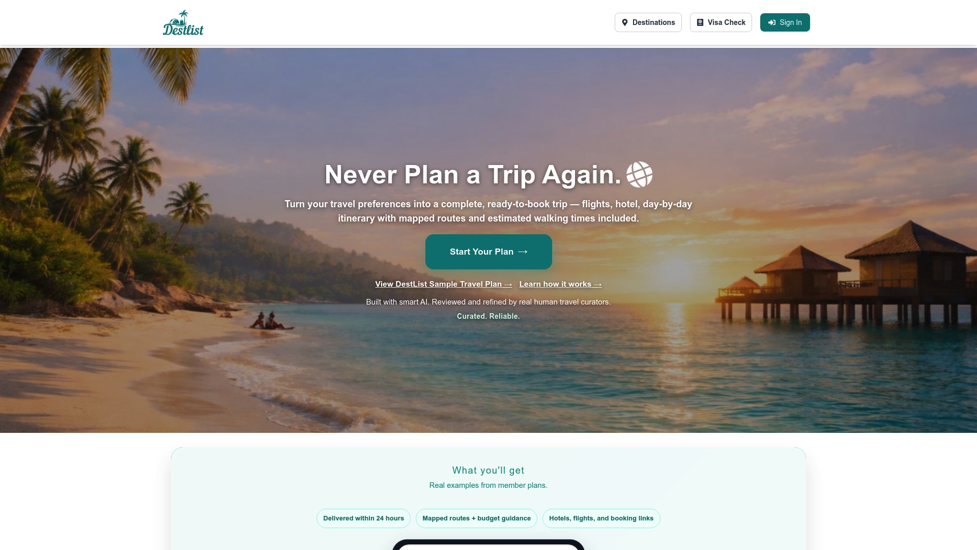
Destlist is built for exactly that moment. You bring the discovery; Destlist builds the plan. The platform's AI generates a base itinerary from your shortlist, human curators review it for local accuracy and seasonal fit, and you receive a ready-to-book custom itinerary with mapped routes, flight and hotel options, weather alerts, and partner perks. The premium option delivers the full plan within 24 hours. For busy travelers who have found the place but do not want to spend a weekend on logistics, that is the practical next step. Start with the free destination decision tool to match your mood and budget to a destination, or submit a shortlist directly for a full itinerary build.
Useful sources and further reading
- Atlas Obscura — The go-to curated database for cultural oddities, hidden historical sites, and under-the-radar places worldwide; start here for any non-mainstream discovery.
- National Geographic Destinations — Editorially curated destination guides with photography, best-time-to-visit guidance, and hidden-gem callouts; strong for inspiration and cultural context.
- World Travel Guide — Practical destination reference covering airports, visa requirements, events, and offbeat suggestions; useful for the logistics check on international finds.
- Destlist — The recommended service for converting a discovery shortlist into a mapped, human-reviewed, ready-to-book itinerary with 24-hour premium delivery.
- Destlist: unique travel experiences curated for adventurers — A curated list of unusual stays and experiences that pairs well with the discovery workflows above.